Reliable field location
Shows GPS accuracy, follows your position, and keeps diagnostics behind the scenes unless something needs attention.
Offline field maps
Offline PDF maps, GPS tracks, pins, measurements, and map collections without a yearly subscription.
Try one map for free. Upgrade once for full offline map collections, exports, folders, and field tools.
The problem
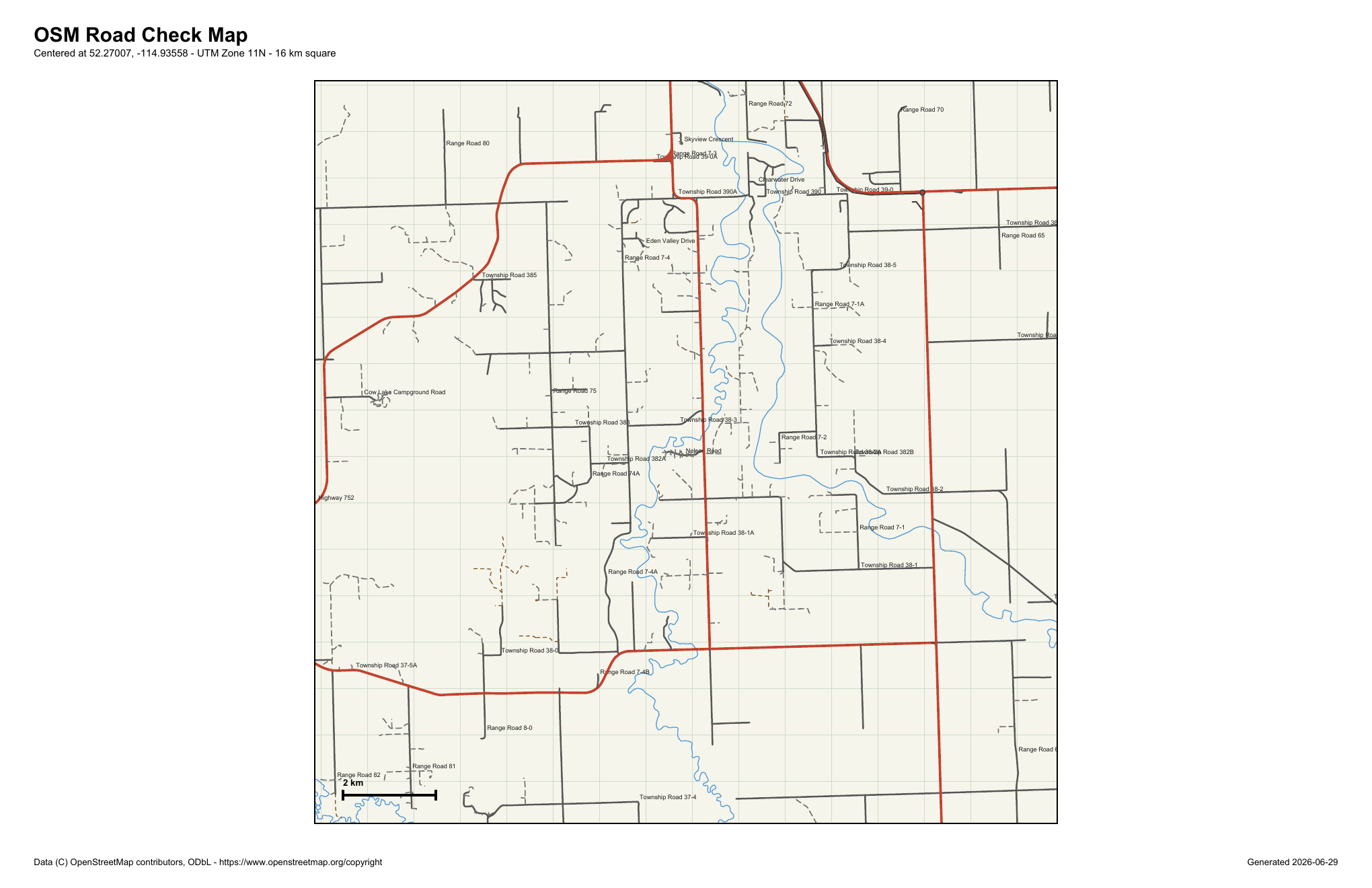
Field maps are usually needed when service is poor, weather is bad, and the crew is already moving. Map Ready is built around that reality: open the map, locate yourself, track the route, mark features, and keep moving.
The design follows the same idea as Crew Ready: fewer mystery menus, clearer field controls, and a workflow that makes sense when you are standing beside a road or block boundary.
Core tools
Shows GPS accuracy, follows your position, and keeps diagnostics behind the scenes unless something needs attention.
Start tracking from a clear floating control, pause when needed, then stop and name the line before saving your work.
Place observations using the center crosshair so the map stays steady under your finger.
Add points from the crosshair, pan to the next corner, undo mistakes, and see the running distance while you work.
Reads map georeferencing automatically when available and stores local backups you can restore later.
Maps, folders, tracks, pins, and measurements stay available when the road ends and the cell signal disappears.
Collections
Collections let you group overview, compartment, and block maps together. Zoom in far enough and Map Ready loads the more detailed map that covers your location.
Why it exists
Map Ready came out of field testing against real forestry layout maps, road maps, and GPS tracks. It is being shaped around what feels right in a truck, on a lease road, or walking a block edge.
The goal is to make a field tool that feels obvious, accurate, dependable, and ready when you need it.
Open a map, press locate, and work. Everything else should stay out of the way until you ask for it.
Pricing
Free
For trying Map Ready with a real georeferenced PDF before buying.
$39.99
One-time purchase
For crews that need dependable offline map collections without another annual bill.
Custom
For companies that want compliance records and field maps under one workflow.